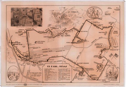
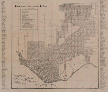
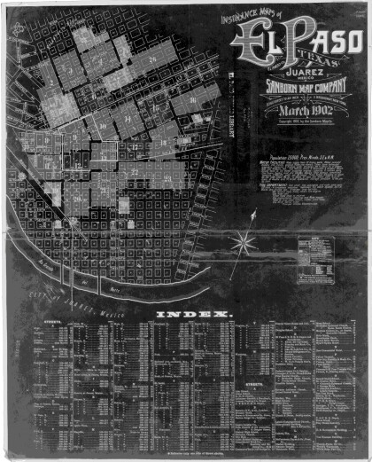
1970 Map of El Paso, Texas
Mapa de El Paso en 1970 El Paso, Texas
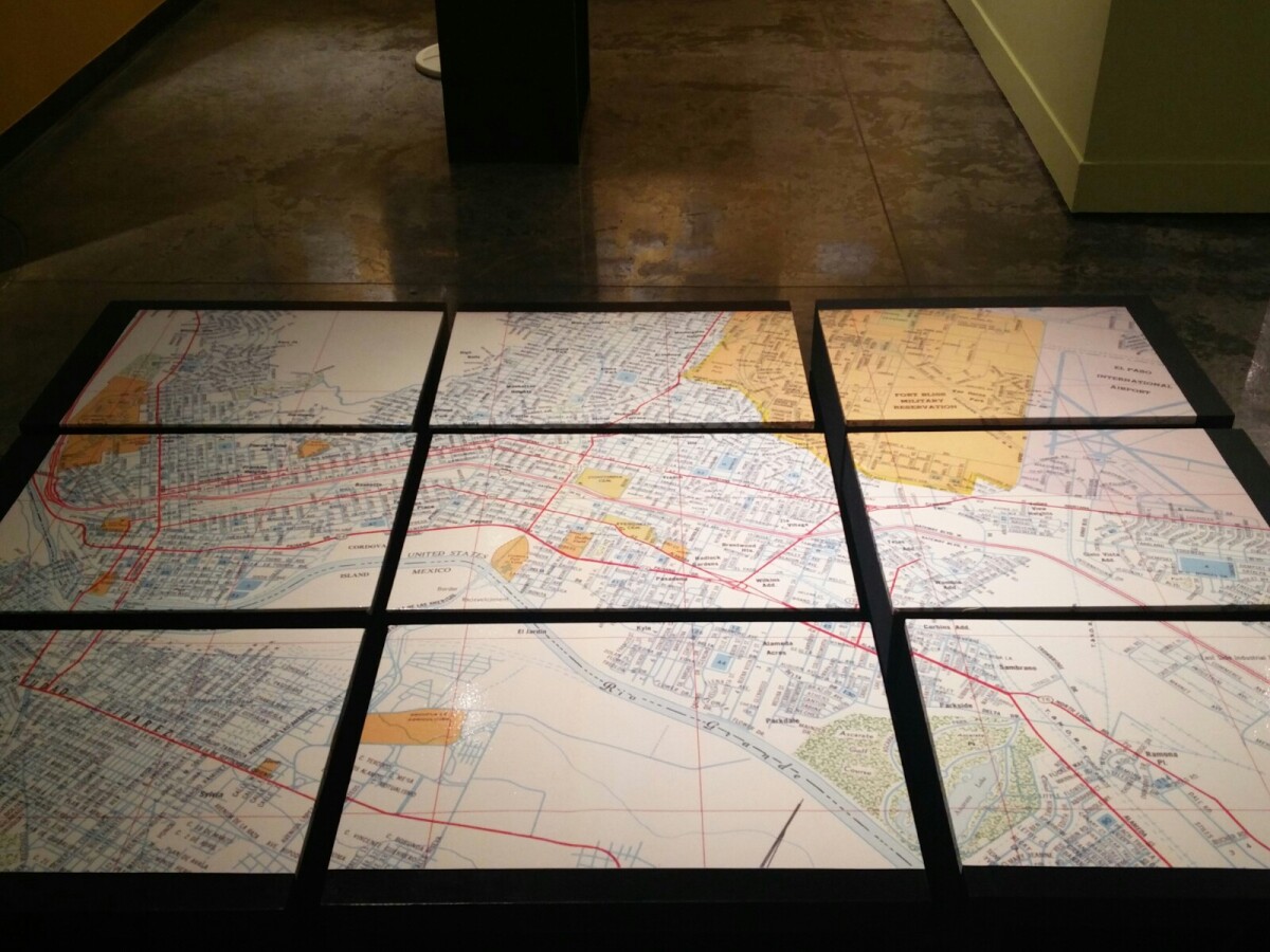
1970 Map of El Paso, Texas
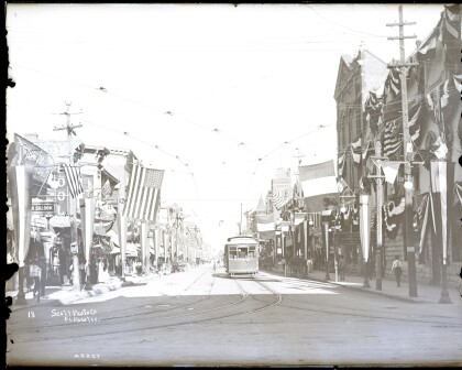
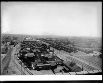
Together these blocks make up a 1970 map of the City of El Paso. The map shows railroad lines and streets. By the 1970's passenger rail service was about to swith to Amtrak.
Report this entry
More from the same community-collection
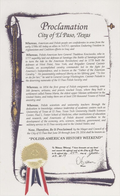
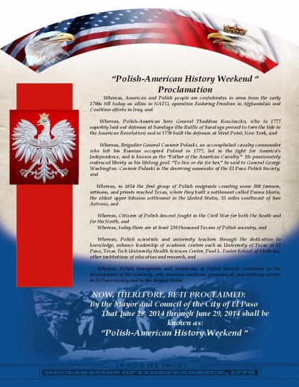
2014 Polish American History Weekend City Proclamation
In 2014 a historical exhibit sponsored by the Senate of Poland ...
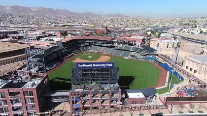
Southwest University Park - El Paso, TX circa 2017
Southwest University Park is located in downtown El Paso. The ...
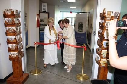
Polish Exhibit in El Paso 2014
The opening ceremony, photo shows from right: Julia Bussinger , ...
Pictorial Map of El Paso, Texas and Juarez, Mexico
Visitor guide with pictorial map of El Paso, Texas and ...
Southern Pacific Railroads, El Paso,TX circa 1905
Southern Pacific Railroad (E. P & S W. ) railroad yards, Photo ...
Johnson's Automobile Repair Shop - El Paso, Texas
Johnson's Automobile Repair Shop located at 326 Texas St. This ...
Downtown Street Scene, El Paso,TX, circa 1906
St. Louis St. (Mills St. Today) facing west. The Federal ...

