1970 Map of El Paso, Texas
Mapa de El Paso en 1970 El Paso, Texas
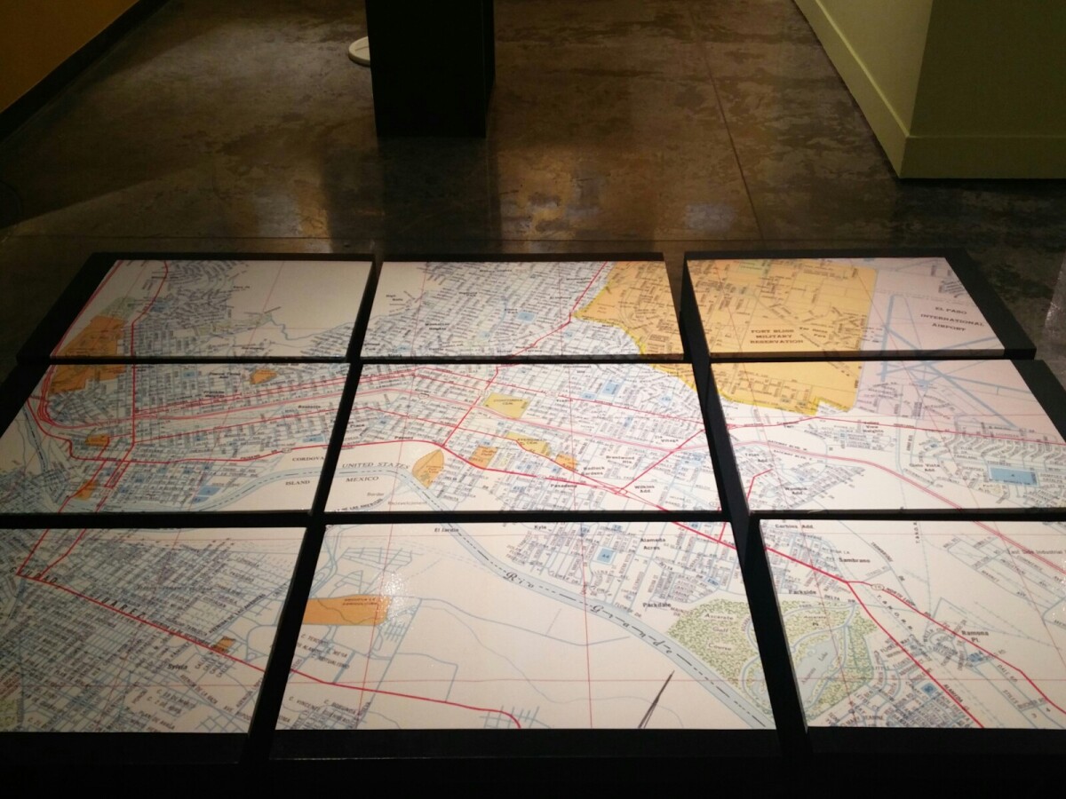
1970 Map of El Paso, Texas
Together these blocks make up a 1970 map of the City of El Paso. The map shows railroad lines and streets. By the 1970's passenger rail service was about to swith to Amtrak.
Report this entry
More from the same community-collection
El Paso Streetcar Public Meeting
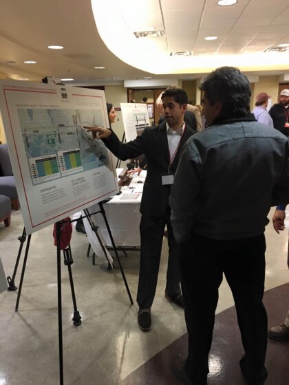
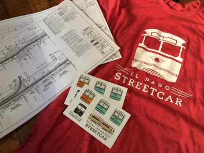
El Paso Streetcar: In January 2016, a public meeting was held to ...
El Paso Streetcar Public Meeting
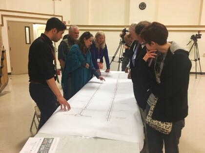
El Paso Streetcar: Community members and media were able to look ...
El Paso Streetcar Public Meeting
El Paso Streetcar: In January 2016, a public meeting was held to ...
El Paso Streetcar Public Meeting
El Paso Streetcar: In January 2016, a public meeting was held to ...
El Paso Streetcar Public Meeting
El Paso Streetcar: Community members and media were able to look ...
El Paso Streetcar Public Meeting
El Paso Streetcar: In January 2016, a public meeting was held to ...
El Paso Streetcar Public Meeting
El Paso Streetcar: Community members and media were able to look ...
El Paso Streetcar Public Meeting
El Paso Streetcar: In January 2016, a public meeting was held to ...
El Paso Streetcar Public Meeting
El Paso Streetcar: In January 2016, a public meeting was held to ...
El Paso Streetcar Public Meeting
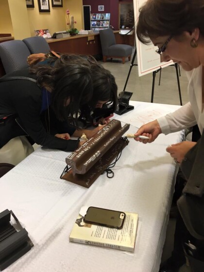
El Paso Streetcar: Community members signed a piece of rail that ...
El Paso Streetcar Public Meeting
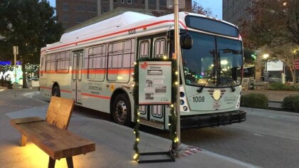
El Paso Streetcar: A Sun Metro bus was wrapped in the color and ...
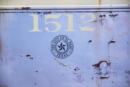
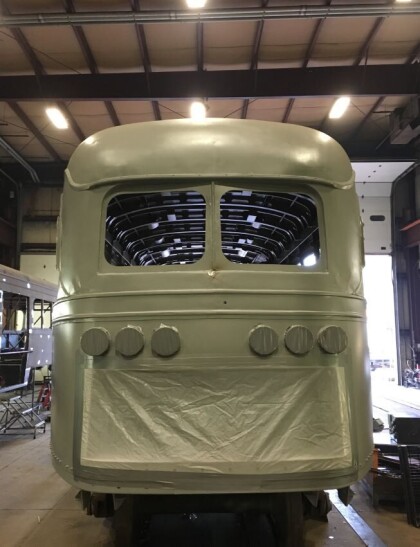
El Paso, Texas Streetcar Restoration circa 2016
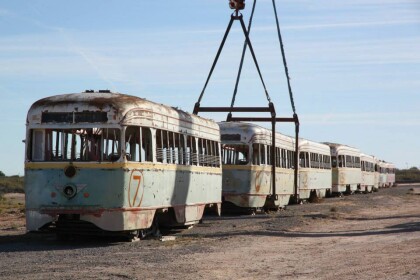
El Paso Streetcar: Before the El Paso Streetcar Project brought ...

