1970 Map of El Paso, Texas
Mapa de El Paso en 1970 El Paso, Texas
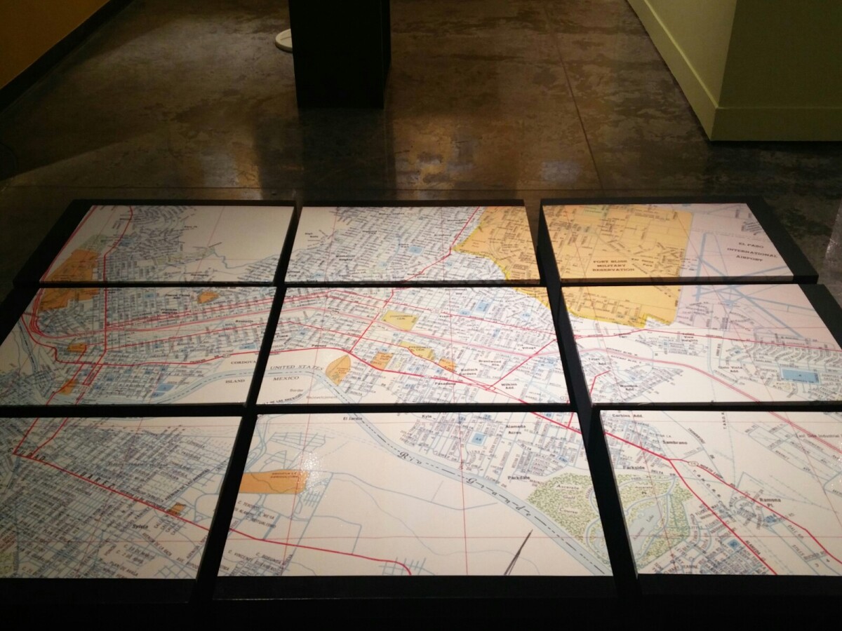
1970 Map of El Paso, Texas
Together these blocks make up a 1970 map of the City of El Paso. The map shows railroad lines and streets. By the 1970's passenger rail service was about to swith to Amtrak.
Report this entry
More from the same community-collection
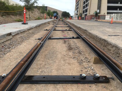
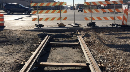
El Paso Streetcar Track Construction
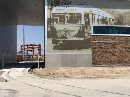
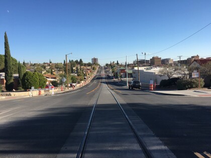
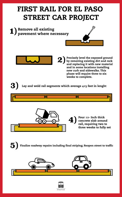
El Paso Streetcar: All of the tracks, including this section in ...
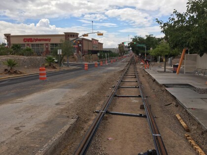
El Paso Streetcar Track Construction
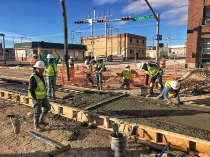
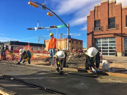
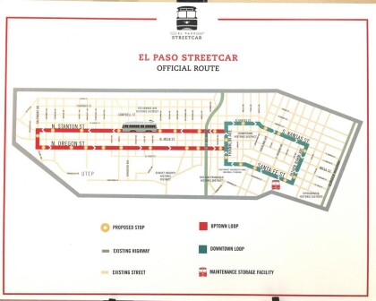
El Paso Streetcar: Construction of the 4.8 mile streetcar route ...
El Paso Streetcar Track Construction
El Paso Streetcar: Construction of the 4.8 mile streetcar route ...
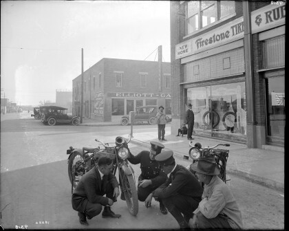
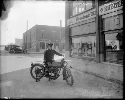
City Police Motorcycle - El Paso, Texas
A police officer poses for a photograph with his Harley-Davidson ...
El Paso Streetcar Track Construction
El Paso Streetcar: Construction of the 4.8 mile streetcar route ...
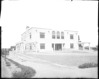
Residence of Charles E. Davis - El Paso, Texas
Photos of Charles E. Davis Jr.'s residence located at 625 W. ...
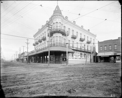
The Mine and Smelter Supply Co. - El Paso, Texas circa 1905
Photo of the Mine & Smelter Supply Co. located at 101 San ...
