1970 Map of El Paso, Texas
Mapa de El Paso en 1970 El Paso, Texas
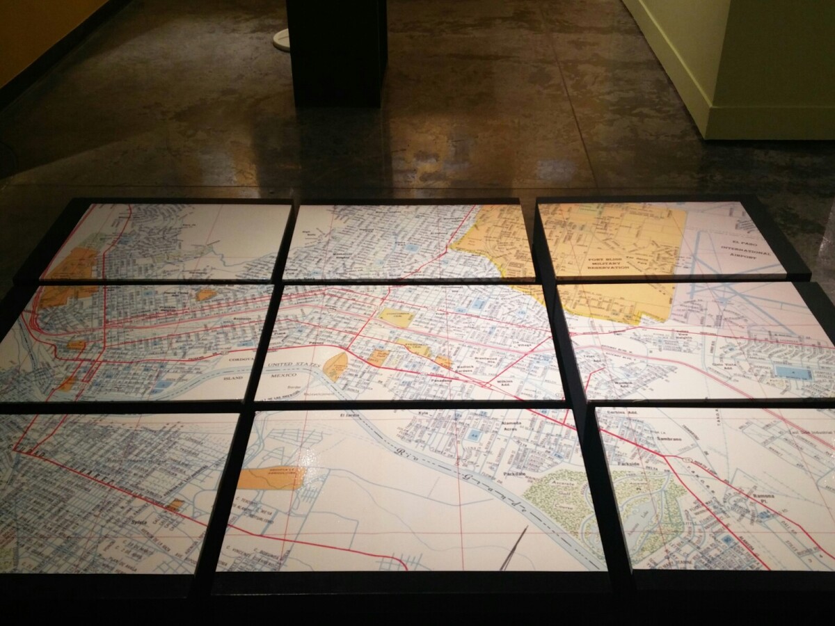
1970 Map of El Paso, Texas
Together these blocks make up a 1970 map of the City of El Paso. The map shows railroad lines and streets. By the 1970's passenger rail service was about to swith to Amtrak.
Report this entry
More from the same community-collection
Sign of El Paso County Courthouse
The image shows the sign of the new El Paso County Courthouse. ...
El Paso Museum of History -El Paso, Texas
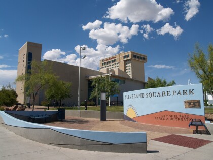
El Paso Museum of History located at Cleveland Square Park - El ...
Mariachi Band at El Paso Museum of History
Mariachi Band playing good music at the El paso Museum of ...
Fashion Show - El Paso Museum of History
Fashion show at the El Paso Museum of History--downtown El Paso, ...
Santa Fe Bridge 1911 - El Paso, Texas
The picture shows Santa Fe Street bridge, which connected El ...
