1970 Map of El Paso, Texas
Mapa de El Paso en 1970 El Paso, Texas
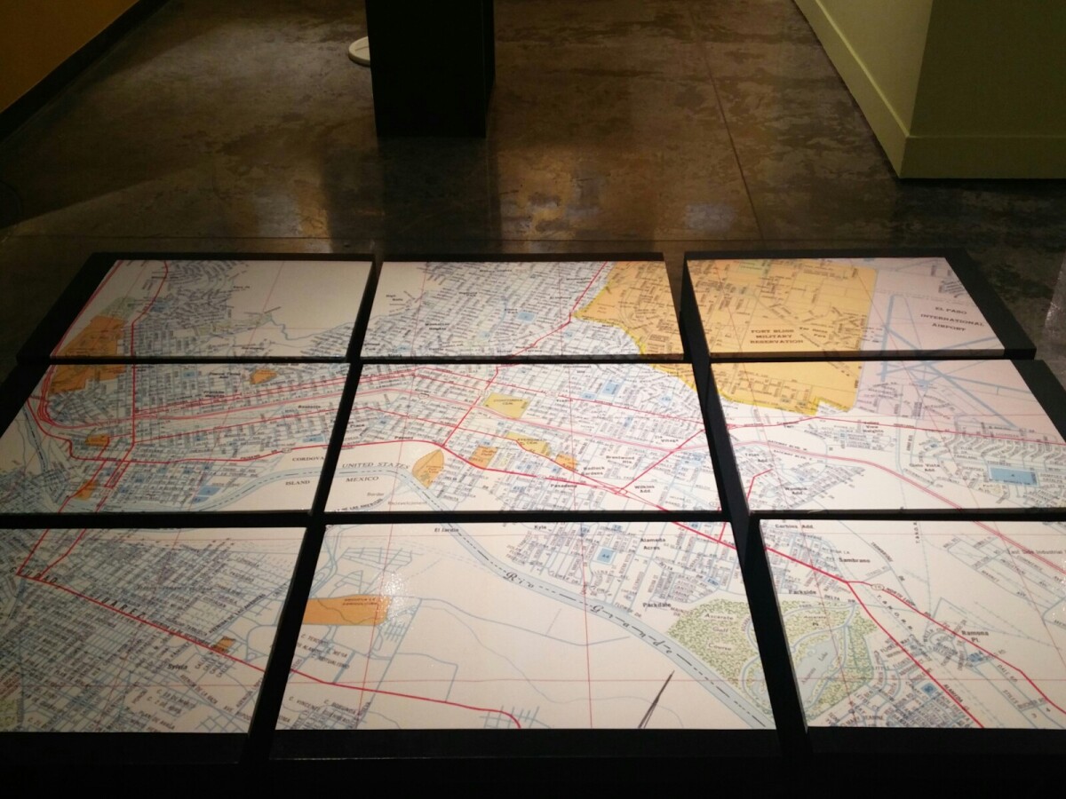
1970 Map of El Paso, Texas
Together these blocks make up a 1970 map of the City of El Paso. The map shows railroad lines and streets. By the 1970's passenger rail service was about to swith to Amtrak.
Report this entry
More from the same community-collection
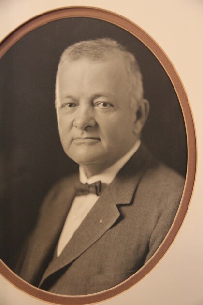
Richard M. Dudley, El Paso, TX, Mayor
Richard M. Dudley, engineer and El Paso mayor, was born near ...
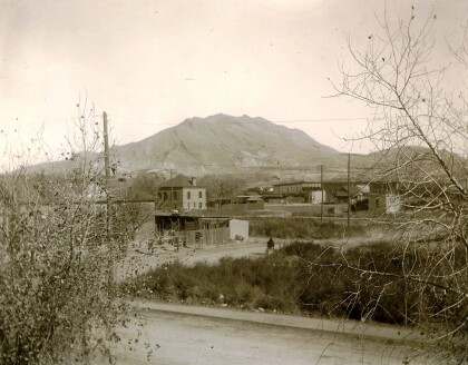
Looking to the Franklin Mountains
The image shows some houses on the Eastside of El Paso, looking ...
San Jacinto Plaza looking towards Franklins
There is a locomotive on Main Street, a fancy carriage in the ...
Looking across Main to San Jacinto Plaza
This view of the Plaza looks across the railroad tracks on Main. ...
San Jacinto Plaza looking across St. Louis (Mills)
This view from San Jacinto Plaza shows both the domed City Hall ...
