1970 Map of El Paso, Texas
Mapa de El Paso en 1970 El Paso, Texas
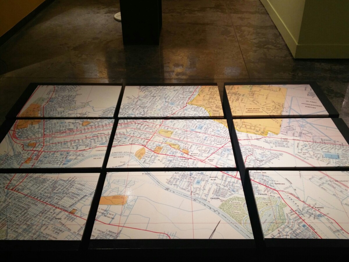
1970 Map of El Paso, Texas
Together these blocks make up a 1970 map of the City of El Paso. The map shows railroad lines and streets. By the 1970's passenger rail service was about to swith to Amtrak.
Report this entry
More from the same community-collection
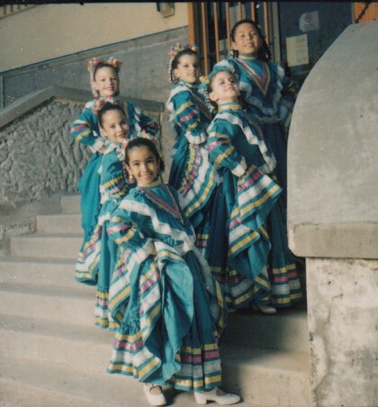
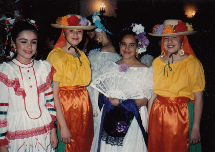
Folklorico, Civic Center, El Paso, TX circa 1985
Dancers performing at the Civic Center in downtown El Paso, ...
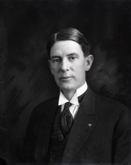
Thomas Calloway Lea, Jr. - El Paso, Texas
Thomas Calloway Lea, Jr. (1877-1945), was a prominent American ...
German History Happy Hour at EPMH
The image captures the German History Happy Hour at the El Paso ...
German History Happy Hour at EPMH
The German Air Force Schuhplattler Group performs during the ...
