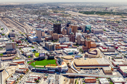
1970 Map of El Paso, Texas
Mapa de El Paso en 1970 El Paso, Texas
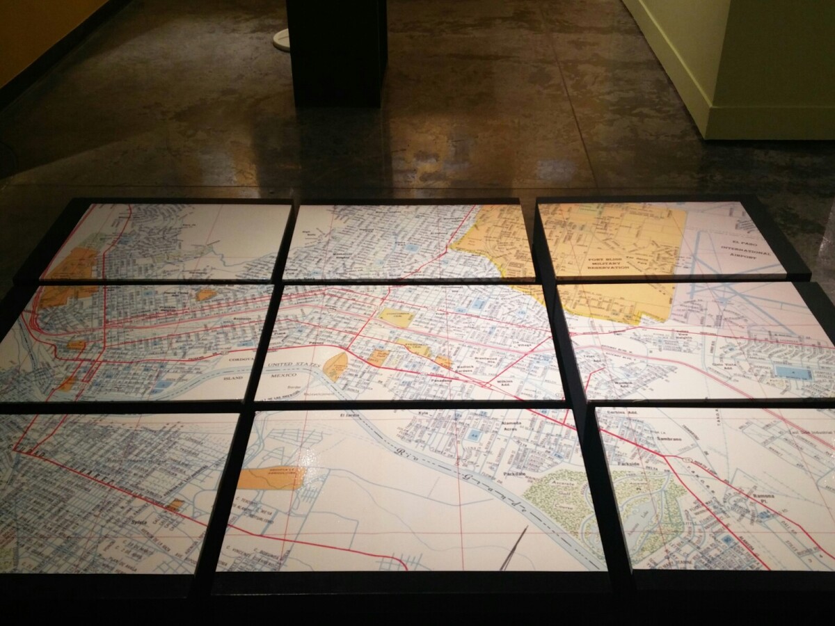
1970 Map of El Paso, Texas
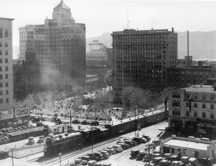
Together these blocks make up a 1970 map of the City of El Paso. The map shows railroad lines and streets. By the 1970's passenger rail service was about to swith to Amtrak.
Report this entry
More from the same community-collection
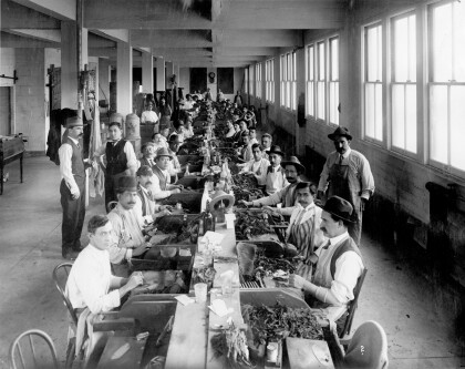
Kohlberg Brothers Tobacco Company
The image shows workers making cigars at the Kohlberg Brothers ...
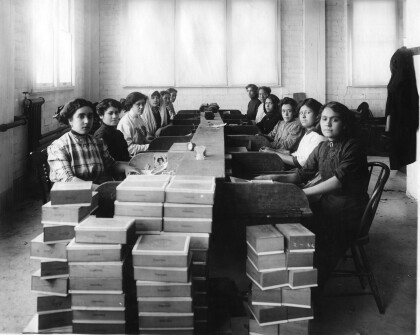
Kohlberg Brothers Tobacco Company
The image shows female workers putting cigars into boxes at the ...
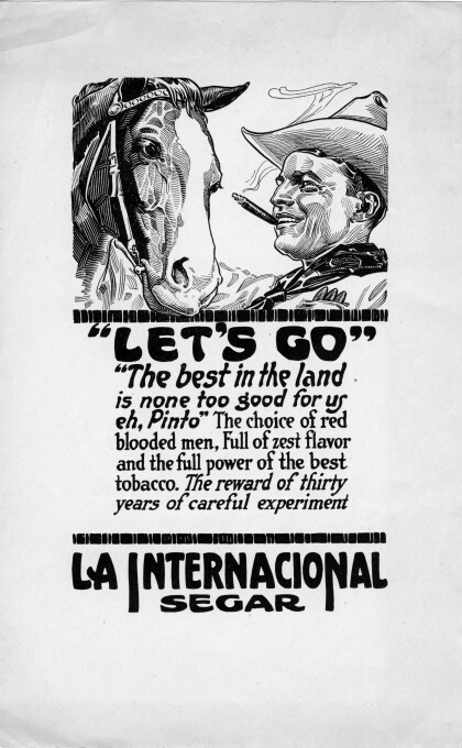
Let's Go - advertisement for La Internacional cigar
The image shows advertisement for La Internacional cigar - the ...
Alligators in San Jacinto Plaza at Christmas
Celebrating the lighting of the Christmas tree on December 5, ...
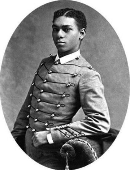
Henry O. Flipper, 1856 - 1940
Henry Ossian Flipper, engineer, the first black graduate of West ...
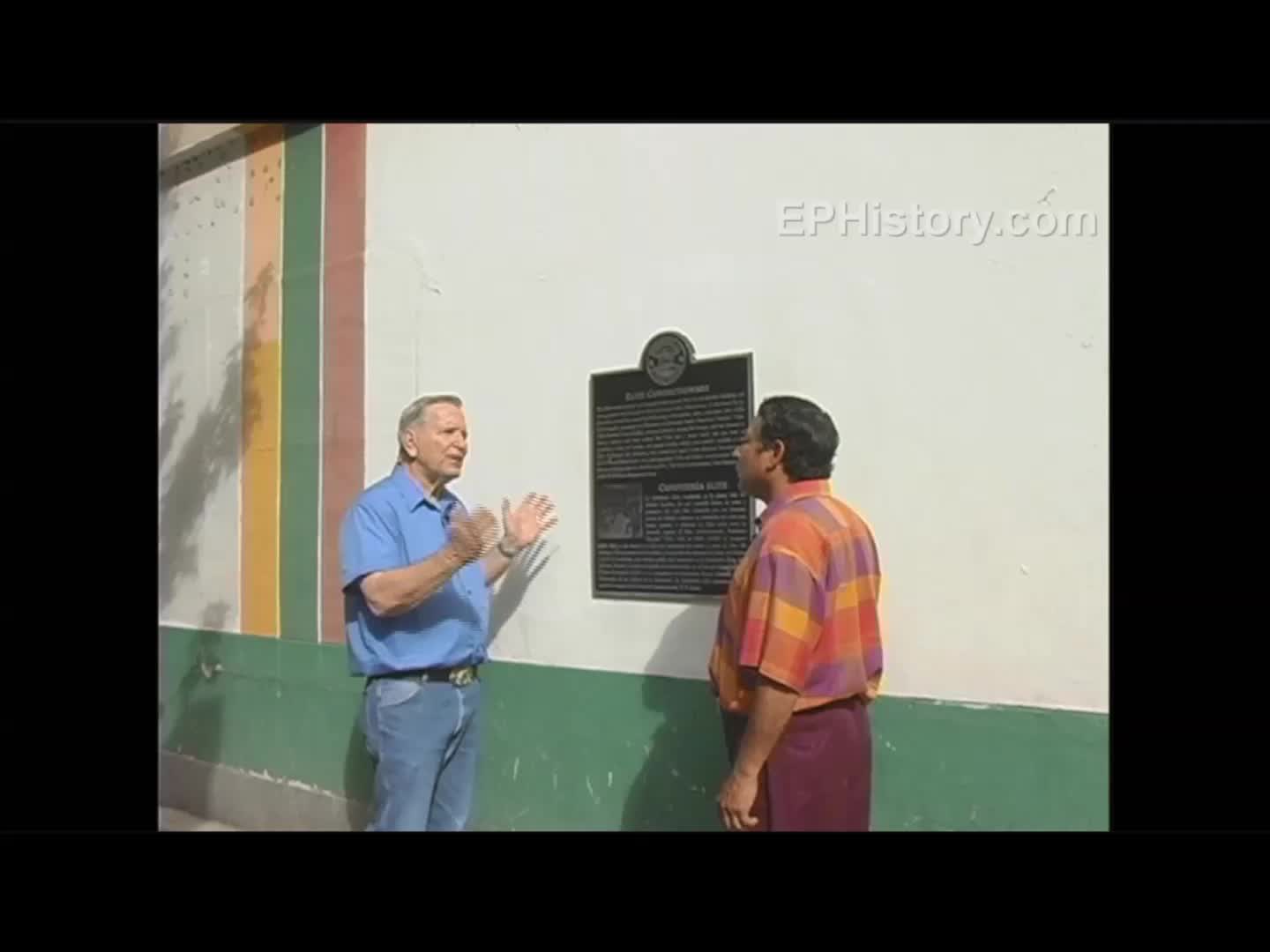
Pancho Villa and Ice Cream - Video
Elite Confectionary 201 N. Mesa St. Pancho Villa would visit the ...
