1970 Map of El Paso, Texas
Mapa de El Paso en 1970 El Paso, Texas
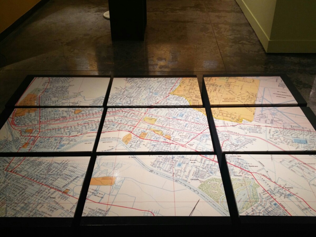
1970 Map of El Paso, Texas
Together these blocks make up a 1970 map of the City of El Paso. The map shows railroad lines and streets. By the 1970's passenger rail service was about to swith to Amtrak.
Report this entry
More from the same community-collection
Haunted House Cast - El Paso, Texas
Cast of the Haunted House from the El Paso Public Library Main ...
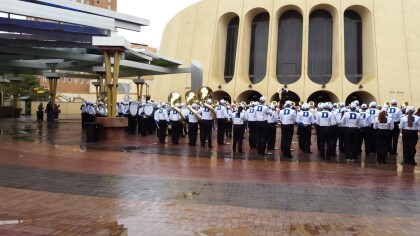
Duke University Band - El Paso, Texas
Duke University Band played at the Sunbowl Luncheon in 2014. It ...
Good food at the Chihuahua's game with good friends!
2014 Larry Brunt, Sonya Cahalan, Jackie Ramirez and Suzy Santo ...
Franklin Elementary School - El Paso, Texas
This is a photo of Franklin Elementary School which was located ...
