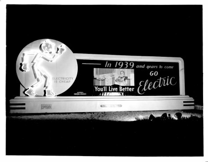
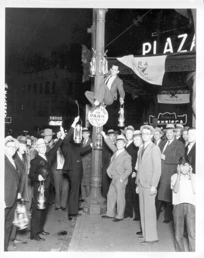
1970 Map of El Paso, Texas
Mapa de El Paso en 1970 El Paso, Texas
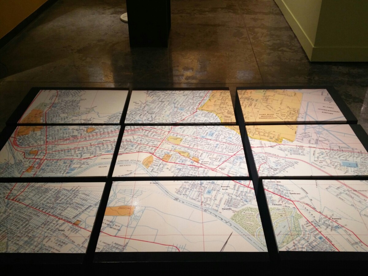
1970 Map of El Paso, Texas
Together these blocks make up a 1970 map of the City of El Paso. The map shows railroad lines and streets. By the 1970's passenger rail service was about to swith to Amtrak.
Report this entry
More from the same community-collection
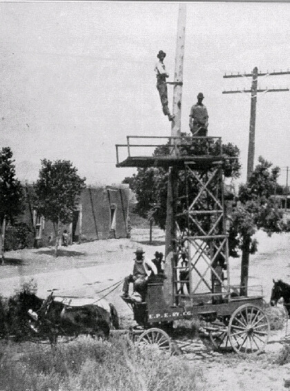
El Paso Electric Railway Co. Line Crews
El Paso Electric Railway Company linemen working on line early ...
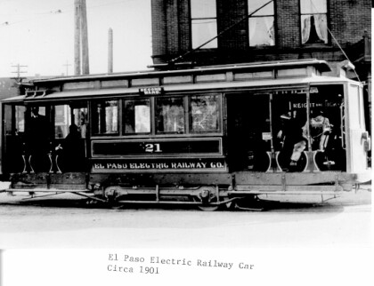
El Paso Electric Railway Company Railway Car
El Paso Electric Railway Company Railway car (Circa 1901)
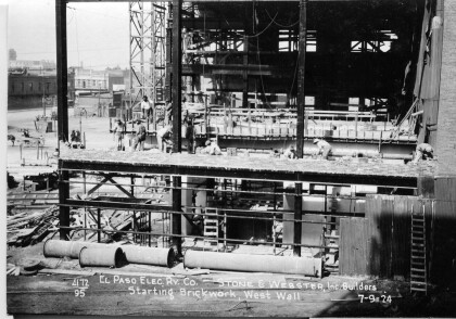
El Paso Electric Railway Co. Santa Fe Power Plant
Construction and brickwork on Santa Fe Power Plant July 1924.
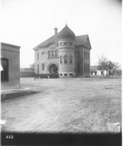
Bowie High School - El Paso, Texas
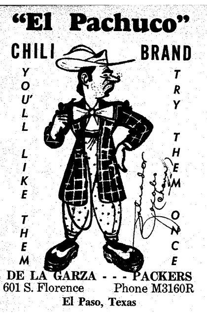
El Pachuco Chili Brand, De La Garza Packers 601 S Florence El ...
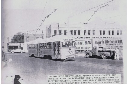
Trolley, El Paso, Texa circa 1960
Trolley on Chamizal Court St. 1960's, the street was created to ...
Reddy Kilowatt promotes electricity
1939 El Paso Electric Company billboard promoting electricity.
Street Lighting During World War II
El Pasoans conserved electricity during World War II by lighting ...
