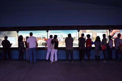
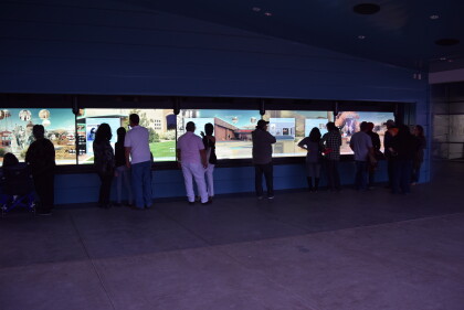
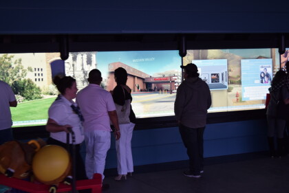
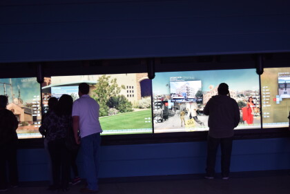
1970 Map of El Paso, Texas
Mapa de El Paso en 1970 El Paso, Texas
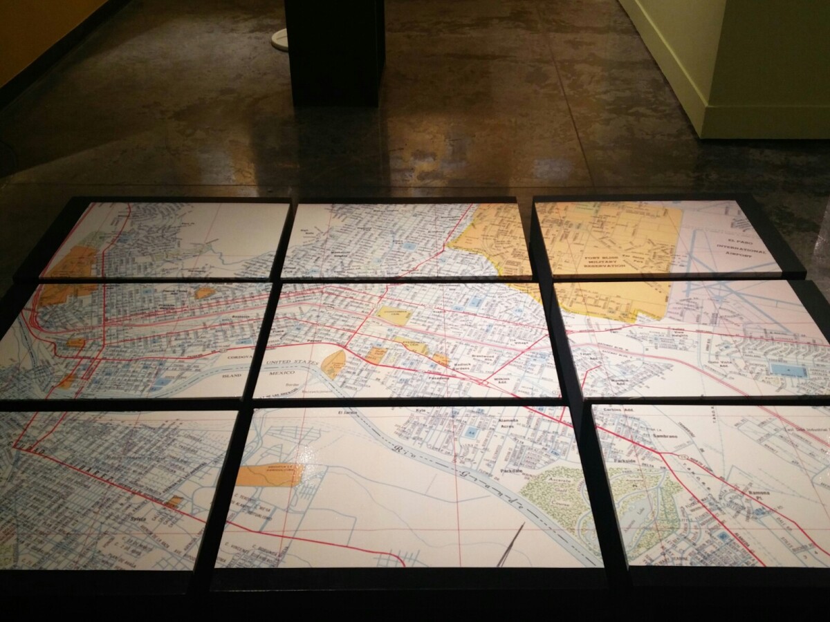
1970 Map of El Paso, Texas
Together these blocks make up a 1970 map of the City of El Paso. The map shows railroad lines and streets. By the 1970's passenger rail service was about to swith to Amtrak.
Report this entry
More from the same community-collection
Cutting of the Ribbon at Digie Grand Opening
Digie" is the new Digital Information Gateway, or an interactive ...
Lisa Heinemann and friend at Opening Ceremony for DIGIE
Lisa and Silke at the Downtown Opening Ceremony for DIGIE on ...
Lisa at Opening Ceremony for DIGIE.
Lisa at the Downtown Opening Ceremony for DIGIE on February 14, ...
Heather and Carlos at Opening Ceremony for DIGIE
Heather and Carlos, friends of the Curator of the Digital Wall ...
Heather and Carlos at Opening Ceremony for DIGIE
Heather and Carlos, friends of the Curator of the Digital Wall ...
Heather and Carlos at Opening Ceremony for DIGIE
Heather and Carlos, friends of the Curator of the Digital Wall ...
Visitors at Opening Ceremony for DIGIE
Visitors at the Downtown Opening Ceremony on February 14, 2015, ...
Visitors at Opening Ceremony for DIGIE
Visitors at the Downtown Opening Ceremony on February 14, 2015, ...
Visitors at Opening Ceremony for DIGIE
Visitors at the Downtown Opening Ceremony on February 14, 2015, ...
Visitors at Opening Ceremony for DIGIE
Visitors at the Downtown Opening Ceremony on February 14, 2015, ...
Visitors at Opening Ceremony for DIGIE
Visitors at the Downtown Opening Ceremony on February 14, 2015, ...
Visitors at Opening Ceremony for DIGIE
Visitors at the Downtown Opening Ceremony on February 14, 2015, ...
Celebrating the Opening of the Digital Wall
A band playing at the celebration for the opening of the Digital ...
Bagwell's at Anson 11 before Chihuahuas game
James Bagwell and his twin sons, Bryan and Brandon, and his ...
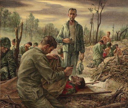
Tom Lea, Sickbay in a Shellhole, 1944.
Sickbay in a Shellhole, 1944. Oil on canvas, 27 X 32. Life ...


