Pictorial Map of El Paso, Texas and Juarez, Mexico
Mapa pictórico de El Paso, Texas y de Juarez, México
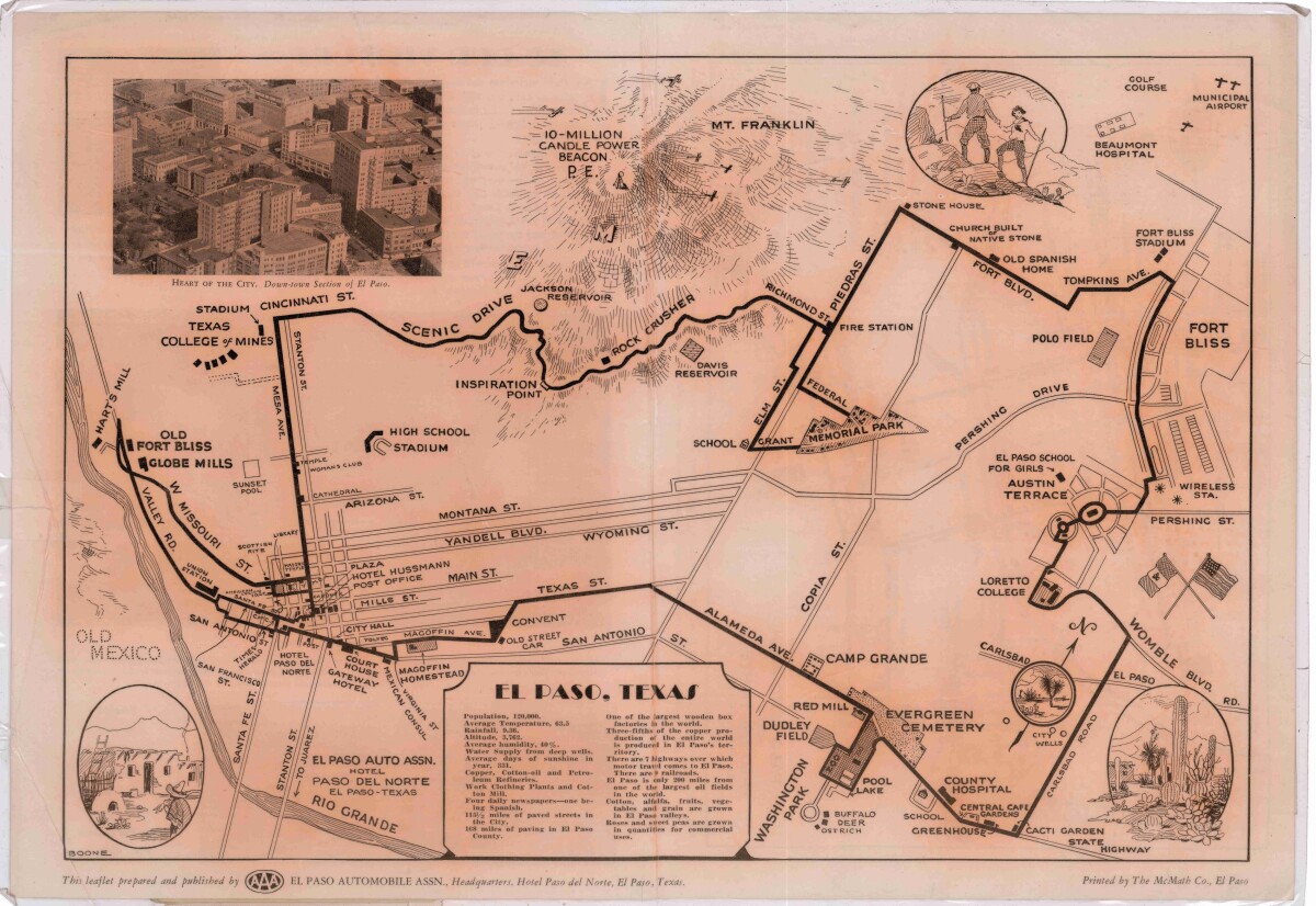
Pictorial Map of El Paso, Texas and Juarez, Mexico
Visitor guide with pictorial map of El Paso, Texas and international cross streets into Juarez, Mexico. Location of places of interest in Juarez, Mexico are noted. Reverse side shows main avenues, streets, historical landmarks, train station, parks, military fort, municipal buildings and colleges. Also notes population statistics; infra-structural, weather and agricultural details.
Report this entry
More from the same community-collection
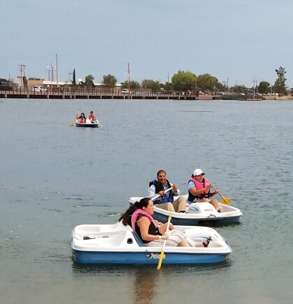
Trailblazers Overnight Campout- July 2018
Paddle boat races at the Overnight Campout put on by the ...
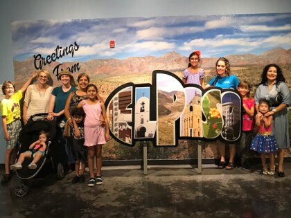
El Paso Jewish Academy and Friends at the El Paso History Museum
It was so much fun to meet downtown and have a special tour of ...
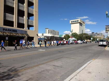
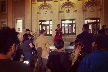
Historical Downtown Ghost Tour (outside Scottish Rite)
Image from a historical ghost tour in Downtown El Paso. Tour ...
El Paso Community College District Established
The El Paso County Community College District was established ...
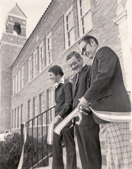
EPCC Rio Grande Campus Completed
The dedication and ribbon-cutting of the Rio Grande campus took ...
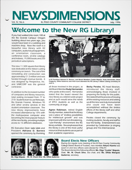
EPCC Rio Grande Learning Resource Center Completed circa 1996
The Learning Resource Center Addition at Rio Grande was ...
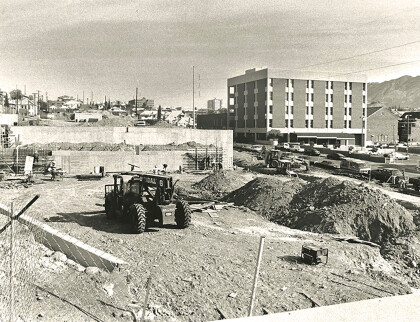
EPCC Rio Grande Health and Sciences Laboratory Building Opened
Paid for by revenue bonds at no cost to the taxpayer, the Health ...
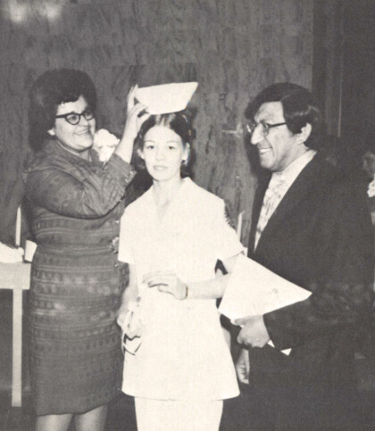
EPCC Health Program Receives HOPE Funding
In February, a grant from Project Hope supported the creation ...
EPCC Health Program Receives HOPE Funding
In February, a grant from Project Hope supported the creation ...
EPCC Health Program Receives HOPE Funding
In February, a grant from Project Hope supported the creation ...
