Pictorial Map of El Paso, Texas and Juarez, Mexico
Mapa pictórico de El Paso, Texas y de Juarez, México
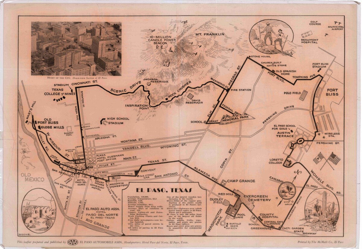
Pictorial Map of El Paso, Texas and Juarez, Mexico
Visitor guide with pictorial map of El Paso, Texas and international cross streets into Juarez, Mexico. Location of places of interest in Juarez, Mexico are noted. Reverse side shows main avenues, streets, historical landmarks, train station, parks, military fort, municipal buildings and colleges. Also notes population statistics; infra-structural, weather and agricultural details.
Report this entry
More from the same community-collection
My family and me during the 2016 Christmas event
This is a picture of my family and me during the 2016 Christmas ...
Cristina Fernandez joins Podium Finish Sport Boutique
Cristina Fernandez joins PodiumFinish Sport Boutique on her ...
My friends and I enjoying Chalk the Block
Chalk the Block was a beautiful experience, especially with my ...
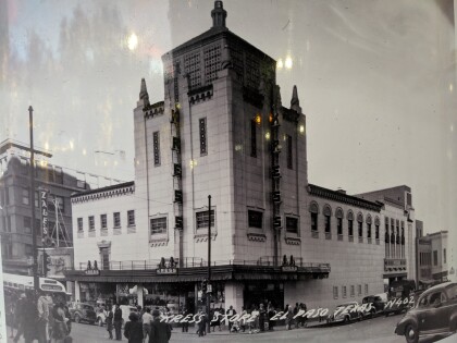
Kress Store, El Paso, TX, circa 1945
This is an old photo of the Kress store between the 1940-1949's.
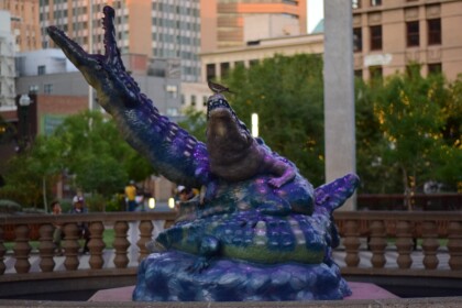
San Jacinto Plaza, El Paso, TX circa 2017
Historic San Jacinto Plaza located in the heart of downtown El ...
EPHP Towntalk Sports El Paso High school football media guide
The cover for the El Paso HeraldPost Towntalk Sports El Paso , ...
August 3rd Community Memorial Service
The City of El Paso is hosted a Community Memorial Service to ...
August 3rd Community Memorial Service
The City of El Paso is hosted a Community Memorial Service to ...
