Map of the City of El Paso, Texas
Mapa de la Ciudad de El Paso, Texas
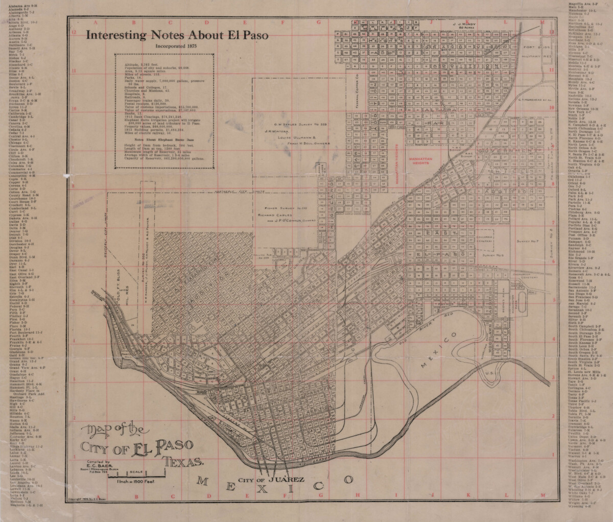
Map of the City of El Paso, Texas
Map of the City of El Paso, Texas with addition names and interesting notes regarding altitude, population, area, water supply, property values and building permits . Also includes details about Elephant Butte Dam.
Report this entry
More from the same community-collection
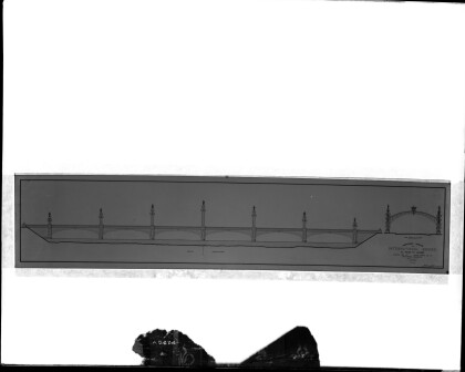
International Bridge Design, 1910 - El Paso, Texas
An artist rendering of the International Bridge connecting El ...
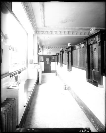
El PAso, Bank & Trust Co. - El Paso, Texas
The interior of the El Paso Bank & Trust Co. Located on the SW ...
City National bank - El Paso, Texas
Photo of the City National Bank Building (on the left side of ...
Stevens Building - El Paso, Texas
The Stevens Building located at 026 1/2 Mesa Ave. The Building ...
St. Joseph's Sanatorium - El Paso, Texas
As with photo A5217: this building is identified as St. Joseph's ...
