County Map of Texas
Mapa de Condados de Texas
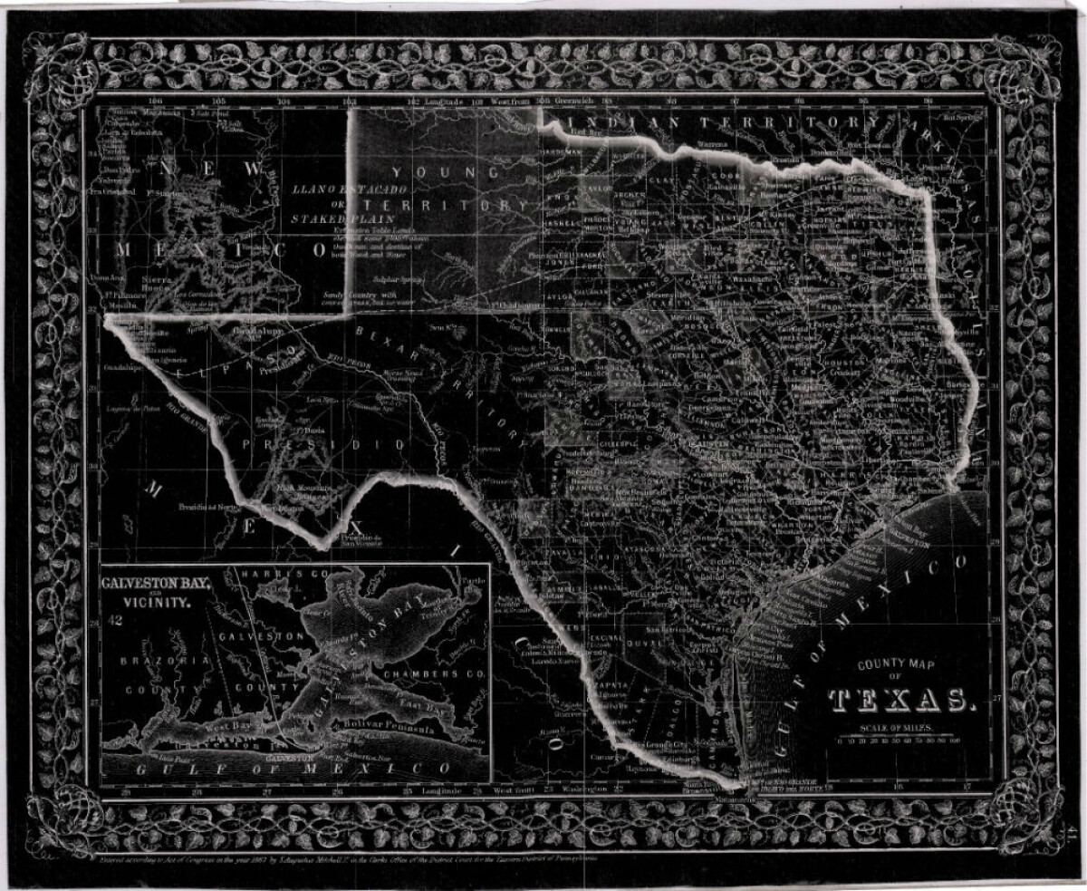
County Map of Texas
This is a county map of Texas represented in black, white and dark gray shades. This map includes an inset of Galveston Bay and the vicinity. Bordering states of New Mexico, Arkansas, and Louisiana and the country of Mexico are indicated. Topographical features-rivers, rios, mountains and bays are shown; and slight shading differences define neighboring counties. Chief cities and towns are indicated.
Report this entry
More from the same community-collection
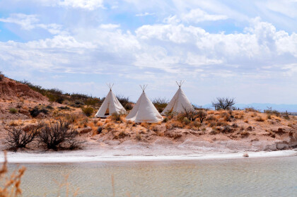
Teepees at Indian Cliffs Ranch in Fabens, TX
Teepees at Indian Cliffs Ranch in Fabens, TX - These tepees are ...
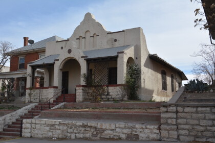
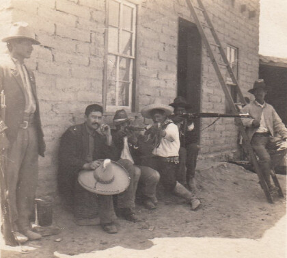
Headquarters of F. I. Madero (Casa Adobe)
The notation on the back of the image says: " Across the Rio ...
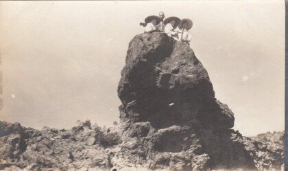
Tourists During Mexican Revolution
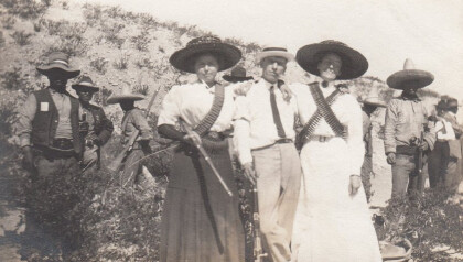
Two women and a man (center left) are preparing to pose for ...
Tourists during Mexican Revolution
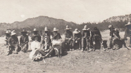
A group of people is sitting in the dessert. The two women and ...
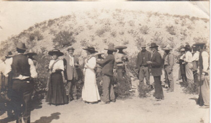
Tourists during Mexican Revolution, part 4
Two women and one man are posing with some rebels for a ...

