County Map of Texas
Mapa de Condados de Texas
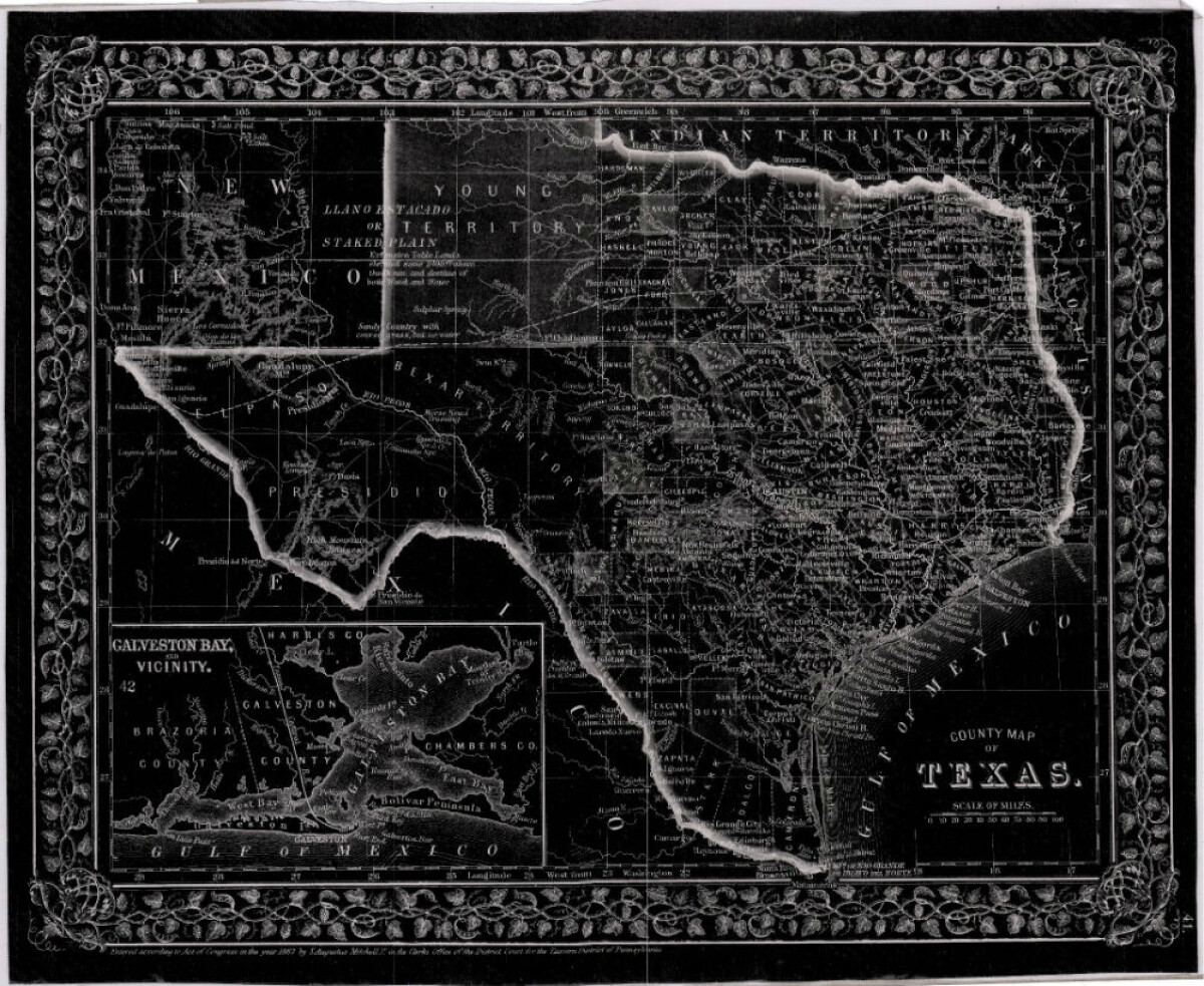
County Map of Texas
This is a county map of Texas represented in black, white and dark gray shades. This map includes an inset of Galveston Bay and the vicinity. Bordering states of New Mexico, Arkansas, and Louisiana and the country of Mexico are indicated. Topographical features-rivers, rios, mountains and bays are shown; and slight shading differences define neighboring counties. Chief cities and towns are indicated.
Report this entry
More from the same community-collection
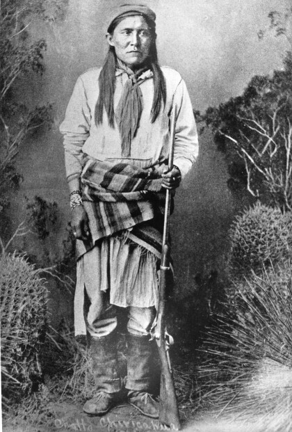
Chatto / Chato - Chiricahua Apache
Chato (1854-1934) was a Chiricahua Apache, born in 1854. He ...
J. J. Armes, Stan Lee, and J. J. Armes III
You were approached by Stan Lee about creating a super hero of ...
J. J. Armes With President Bush and Vice President Cheney
J. J. Armes with President George W. Bush and Vice President ...
J. J. Armes, Investigating With A Magnifying Glass
J. J. Armes Investigating A Safe With A Magnifying Glass, ...
