United States - Routes of Principal Explorers
Estados Unidos - Rutas de exploradores principales
United States - Routes of Principal Explorers
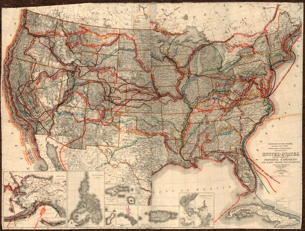
This United States map colorfully illustrates routes taken by principal explorers with their respective dates. Early roads and highways are also shown over a background of topographical features, state and city names. Insets for Alaska, the Philippine Islands, Guam, the Hawaiian Islands, the Samoan Islands, Porto Rico, and the Panama Canal are included.
Report this entry
More from the same community-collection
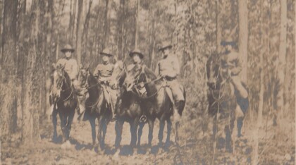
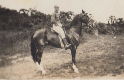
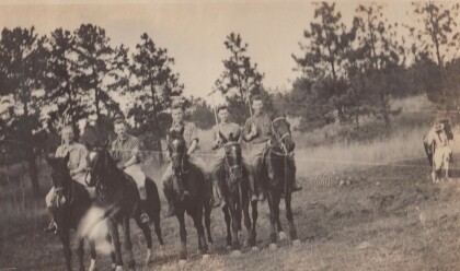
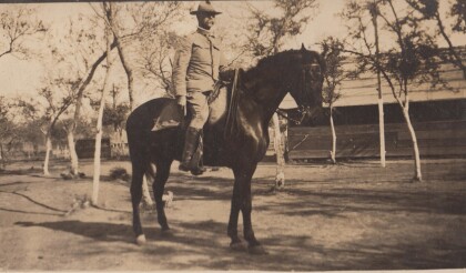
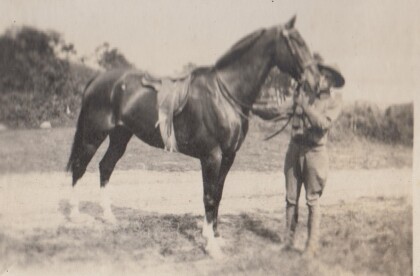
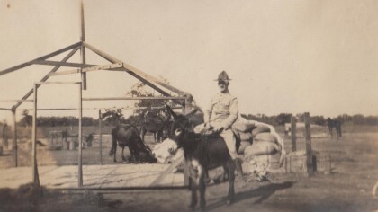
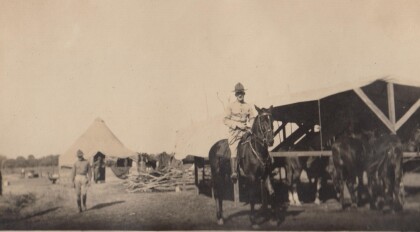
H. E. Featherstone on Horseback circa 1915
This is H.E. Featherstone, possibly on Sandy, the horse he rode ...
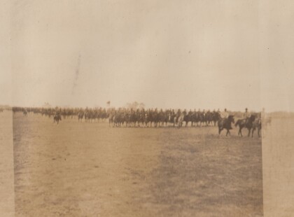
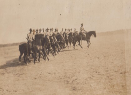
Sgt. Carr And His Platoon - 1910 - 1919
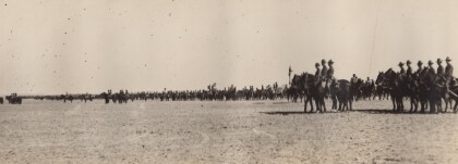
This is the Virginia Cavalry, at drill. The closest horses are ...
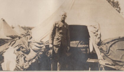
H.E. Featherstone at Gordonsville, Virginia
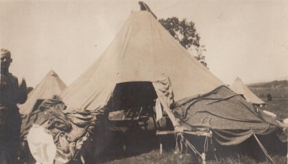
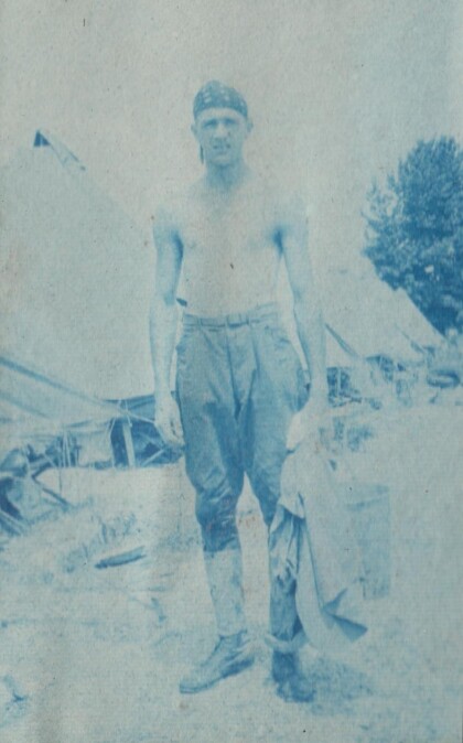
Featherstone in front of his tent at the camp in Gordonsville.
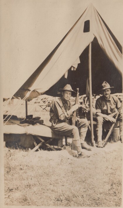
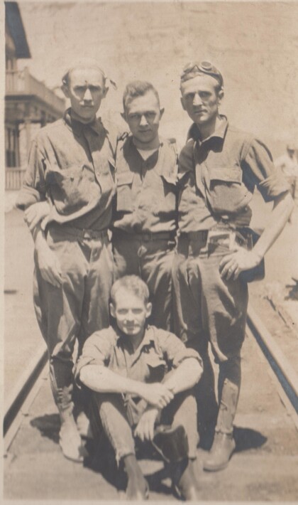
Blakeley, Bourne, Watkins, and Jones
These soldiers are probably part of the Richmond Light Infantry, ...
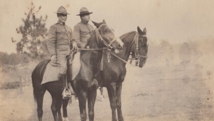
Captains Hewitt and Puller, Virginia Cavalry
Two officers from the Virginia Cavalry serving on the border.
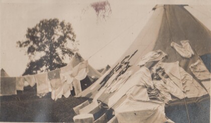
My tent at Gordonsville, Virginia
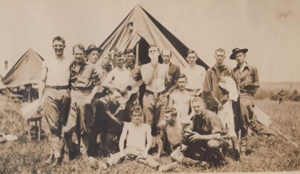
Drill camp for the Richmond Light Infantry. Apparently laundry ...
