United States - Routes of Principal Explorers
Estados Unidos - Rutas de exploradores principales
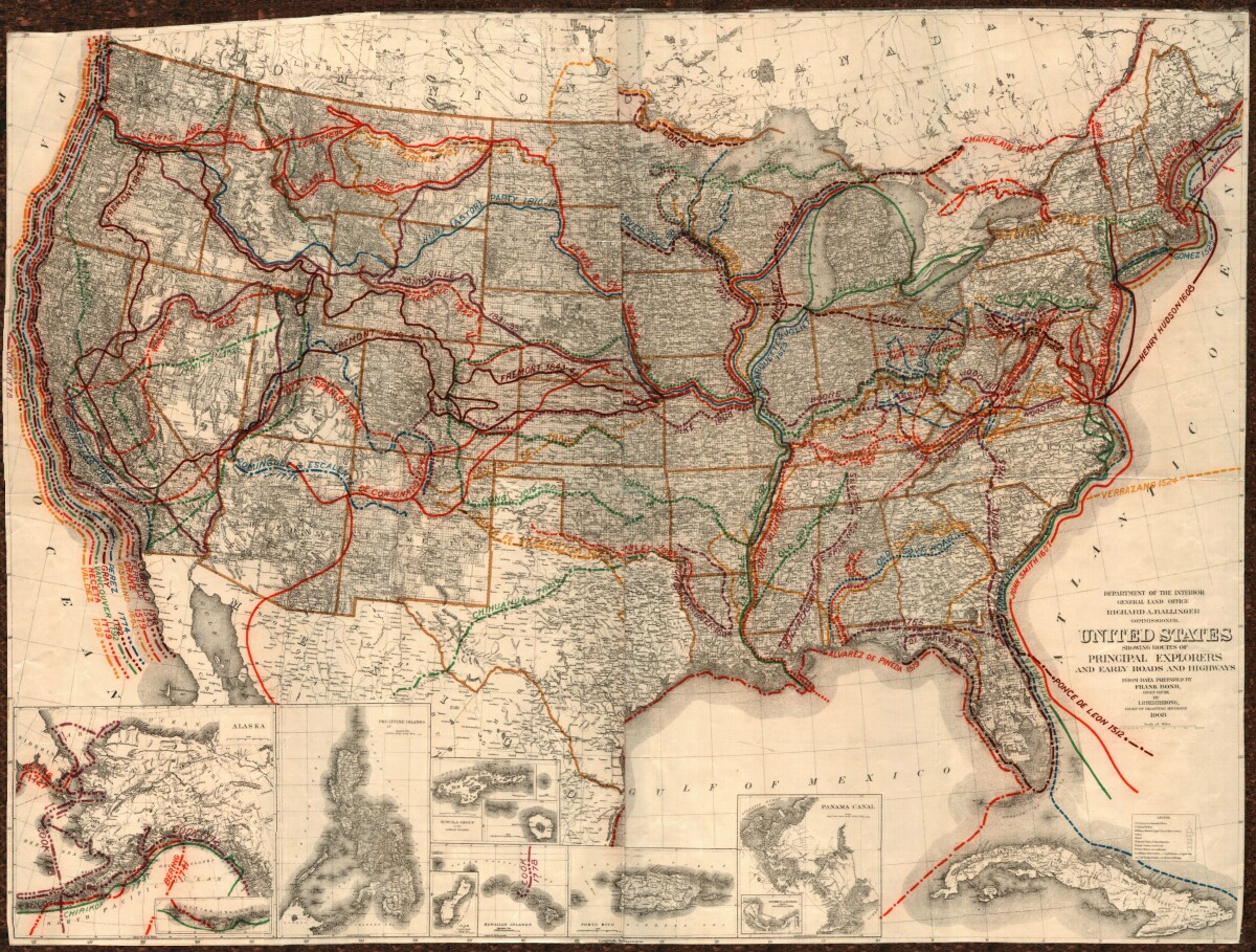
United States - Routes of Principal Explorers
This United States map colorfully illustrates routes taken by principal explorers with their respective dates. Early roads and highways are also shown over a background of topographical features, state and city names. Insets for Alaska, the Philippine Islands, Guam, the Hawaiian Islands, the Samoan Islands, Porto Rico, and the Panama Canal are included.
Report this entry
More from the same community-collection
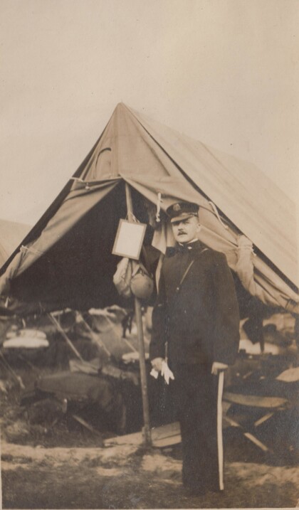
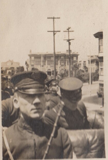
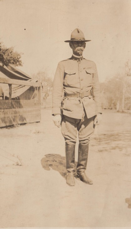
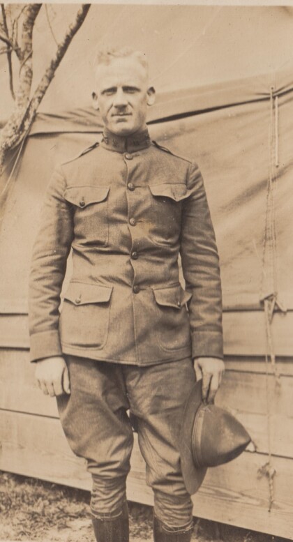
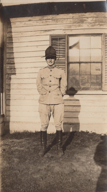
An officer of the Richmond Light Infantry
This photographs is probably from the Gordonsville encampment.
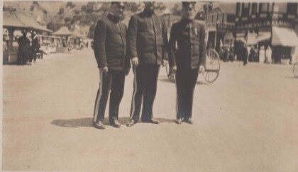
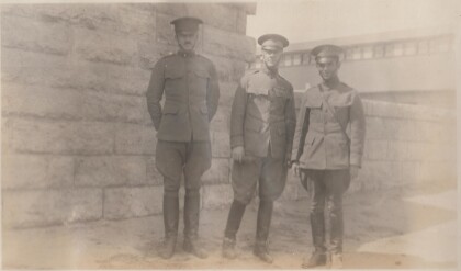
Evans, Epps, and Jones in Catalina, California
The Richmond Light Infantry traveled to California in 1915.
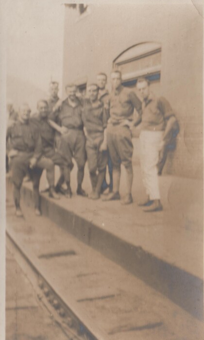
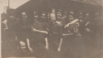
A dirty crowd at Montgovery, West Virginia
This is the Richmond Light Infantry,probably on route to ...
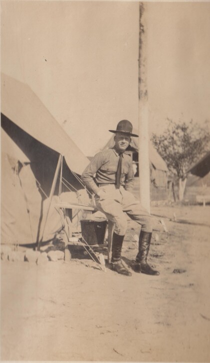
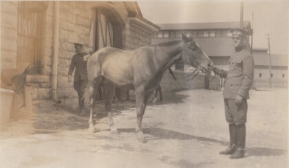
Featherston at training camp in Alabama
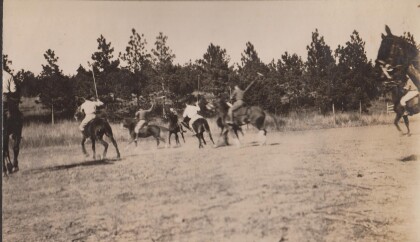
The Virgina Cavalry may have gone to training camp in Alabama ...
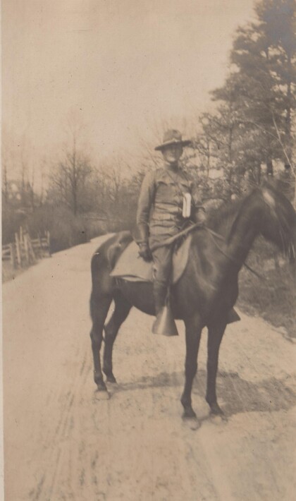
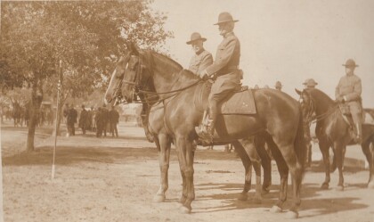
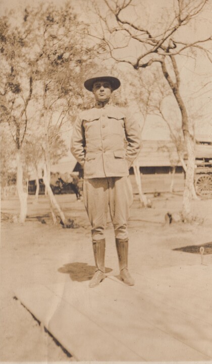
Lt. Featherstone, "B" Troop, Virginia Cavalry
The Virginia Cavalry were National Guard troops serving on the ...
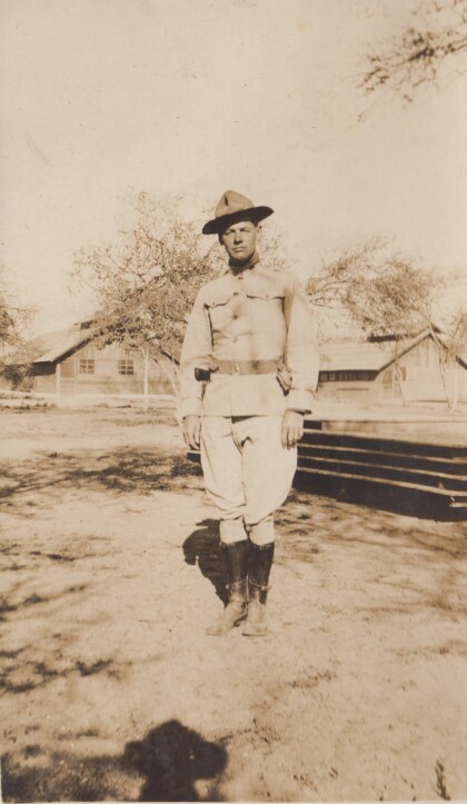
Lt. Burke, "A" Troop, Virginia Cavalry
The Virginia Cavalry was mustered into the National Guard for ...
Lt. Parsons, "D" Troop, Virginia Cavalry
The Virginia Cavalry were National Guard troops who served on ...
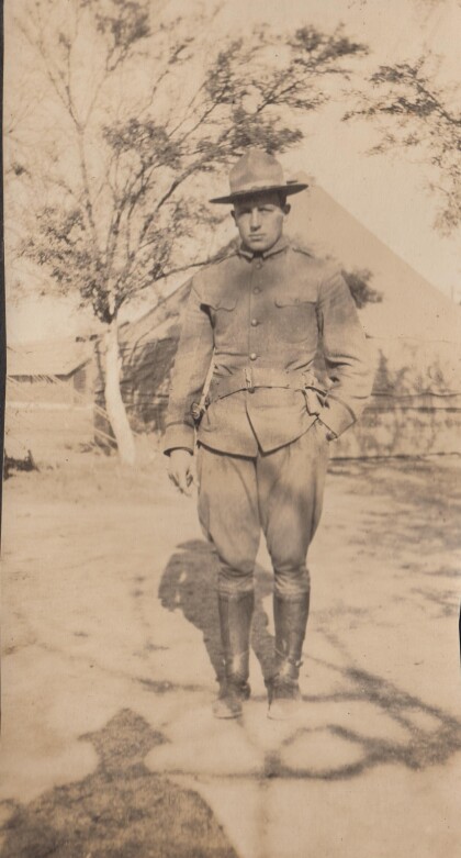
Lt. Sweeney, "A" Troop, Virginia Cavalry
The Virginia Cavalry served on the border in 1916 as National ...
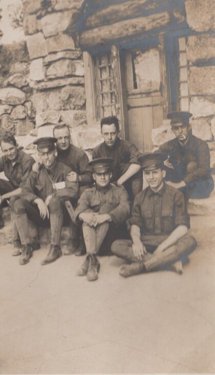
Men of the Richmond Light Infantry at the Grand Canyon
The Richmond Light Infantry visited the Grand Canyon during ...

