Map of the Rio Grande El Paso-Juarez Valley circa 1930
Mapa del Río Grande, el Valle El Paso-Juarez

Map of the Rio Grande El Paso-Juarez Valley circa 1930
This map illustrates the river path between El Paso, Texas and Juarez, Mexico. The location of the International Dam, Riverside Heading, Monument No. 1 and No. 21, Arroyo del Alamo, Diablo Arroyo, and Fort Quitman are pinpointed.
Report this entry
More from the same community-collection
Funeral Arrangements for James R. Muñoz in New Jersey
When my grandfather died the arrangements were made for his ...
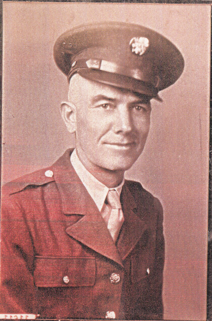
Leo Gallardo's Military Picture - 1960
Leo Gallardo - graduated from Texas Western College in 1959. ...
Antyn Vejil Force of Will World Championship Qualifier
Photograph - from left to right: Dan Musser (First place winner) ...
Force of Will AGP Dallas Semi Finals
Antyn Vejil (the player featured on the right side) facing off ...
