Browse content
You can search DIGIE's collection of images and videos simply by entering a word or words into the TEXT SEARCH box. To search for a specific phrase or word, please enclose your search term in double quotes.
Or you can filter the collection by using the drop-down boxes for TIME or THEME (or both) and/or you can search by place. An AREA is a large section of El Paso like the Northeast, Central, or Lower Valley. A COMMUNITY is more specific. Any combination of these, or a single choice, works fine. Experiment a little to narrow your search down if you want.
When you get a page of results, you can sort them in different orders by using the SORT BY drop down menu. Look at the bottom of the page to see if there are more results waiting for you.
3817 - 3840 of 17693
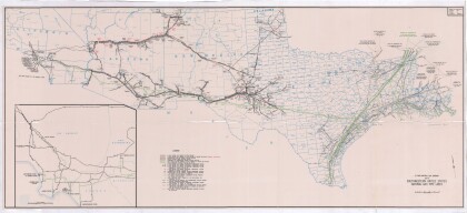
Map of Southwestern United States Natural Gas Pipe Lines
This map illustrates natural gas pipelines extending from ...
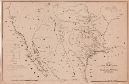
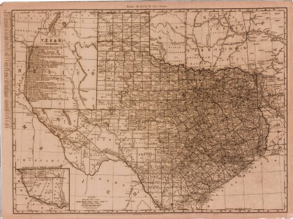
Map of Texas and the Countries Adjacent
This map of Texas and its adjacent countries was compiled for ...
Map of the Rio Grande El Paso-Juarez Valley circa 1930
This map illustrates the river path between El Paso, Texas and ...
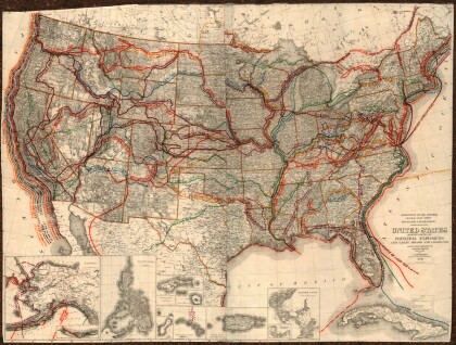
United States - Routes of Principal Explorers
This United States map colorfully illustrates routes taken by ...
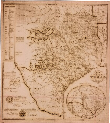
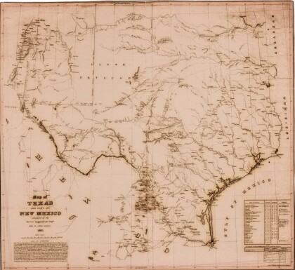
J. De Cordova's State of Texas
This geographical map of Texas was compiled from the records of ...
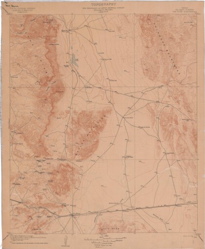
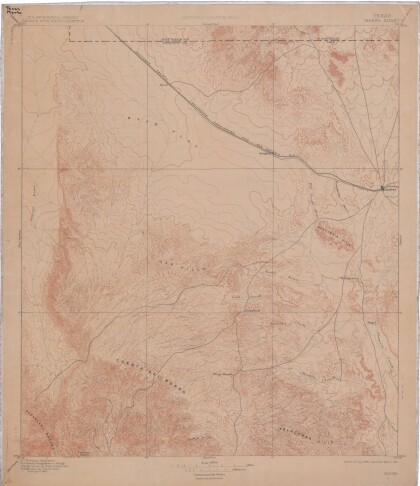
Topography: the University of Texas Mineral Survey
Topographic map of the Van Horn quadrangle in Texas. Indicates ...
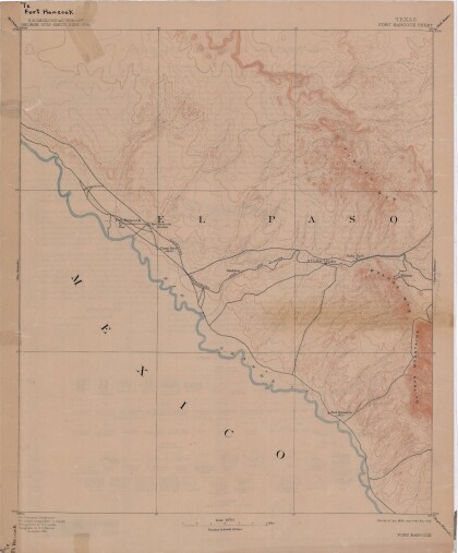
Map of Fort Hancock, Texas circa 1915
Topographical map indicating the location of Fort Hancock and ...


