Browse content
You can search DIGIE's collection of images and videos simply by entering a word or words into the TEXT SEARCH box. To search for a specific phrase or word, please enclose your search term in double quotes.
Or you can filter the collection by using the drop-down boxes for TIME or THEME (or both) and/or you can search by place. An AREA is a large section of El Paso like the Northeast, Central, or Lower Valley. A COMMUNITY is more specific. Any combination of these, or a single choice, works fine. Experiment a little to narrow your search down if you want.
When you get a page of results, you can sort them in different orders by using the SORT BY drop down menu. Look at the bottom of the page to see if there are more results waiting for you.
3841 - 3864 of 17693
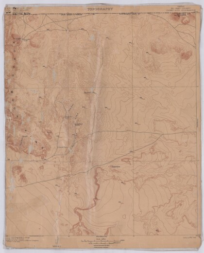
Topography, Texas El Paso County, Cerro Alto Quadrangle
Topographic map of El Paso County Cerro Alto Quadrangle. The ...
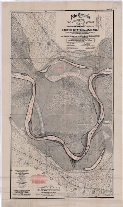
Rio Grande from San Juan River to the Gulf of Mexico
Map illustrates the Rio Grande from the San Juan River to the ...
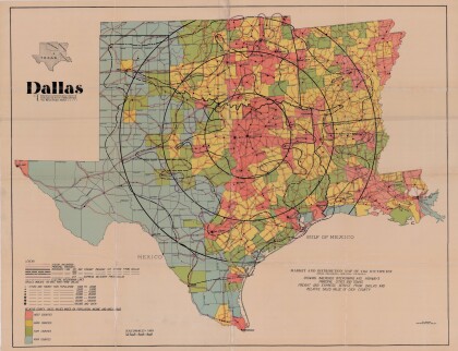
Dallas: Industrial and Distribution Center of the Southwest
Colorful market and distribution map of the Southwest - Texas, ...
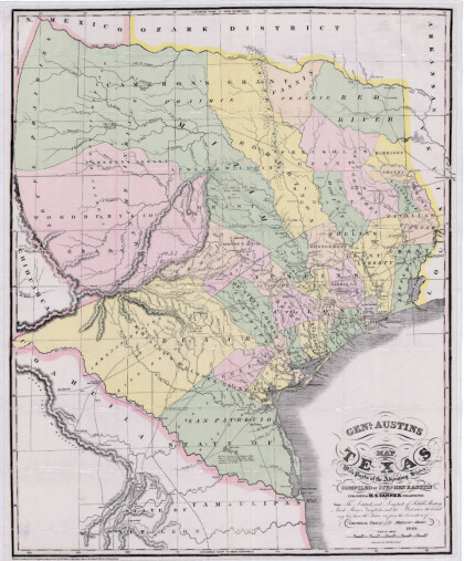
General Austin's Map of Texas with Parts of the Adjoining States
Colorful map of Texas highlighting the borders between states ...
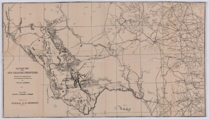
Military Map of the Rio Grande Frontier
Military map of the Rio Grande frontier prepared from original ...
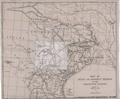
Map of Texas and Adjacent Regions in the Eighteenth Century
Map of Texas and the adjacent regions illustrating missions, ...
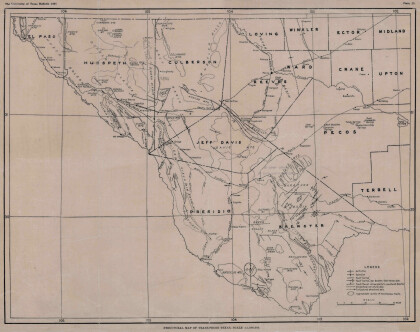
Structural Map of Trans-Pecos Texas
Map of the Trans-Pecos, Texas area; Outlines and lines are shown ...
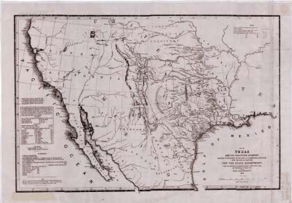
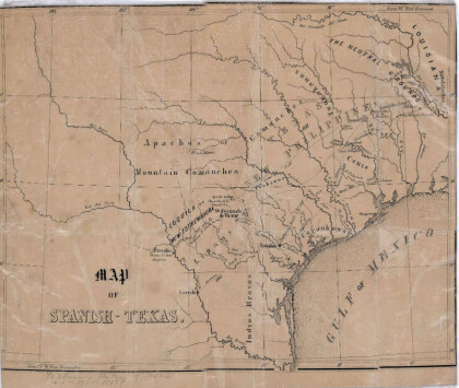
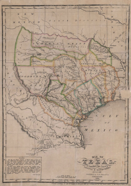
Texas: Containing the Latest Grants and Discoveries
Map of Texas containing the latest grants and discoveries in ...
Biggs and Dan-d CVMA Nationals 2018, El Paso!
We rode 1500 miles to celebrate at the national event with our ...
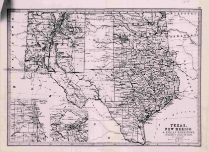
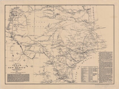
Texas, New Mexico, and Indian Territory
Map of Texas counties and New Mexico showing Indian Territories ...
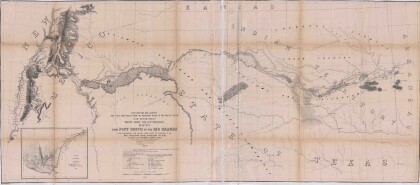
Map No. 1 from Fort Smith to the Rio Grande
Map of the route near the 35th parallel. Part of the ...
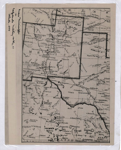
New Mexico, Texas; Chihuahua, Mexico 1861-1865
Map of the borders between New Mexico, Texas and Chihuahua, ...
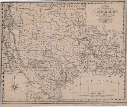
Map of the Republic of Texas and the Adjacent Territories
Map of the Republic of Texas and adjacent territories indicating ...
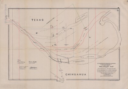
Preliminary Map in the Chamizal Case No. 4
Map compiled from Boundary Commission maps of 1852, from County ...
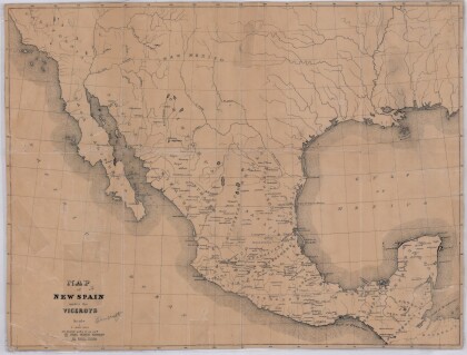
Map of New Spain under the Viceroys
This map illustrates 1600's New Spain. Areas from New Mexico, ...
